What Is Geofencing?
Geofencing is a location-based technology that creates a virtual boundary around a defined geographic area. When a GPS-tracked vehicle or asset crosses that boundary, the system triggers an alert or automated action, with no manual monitoring required.
How it works
How Geofencing Works
A geofence relies on GPS data. Tracking devices installed in vehicles report their location coordinates continuously to the fleet management platform. The platform compares those GPS coordinates against the boundaries you have defined. When a vehicle's position crosses a zone boundary, the system triggers the alert.
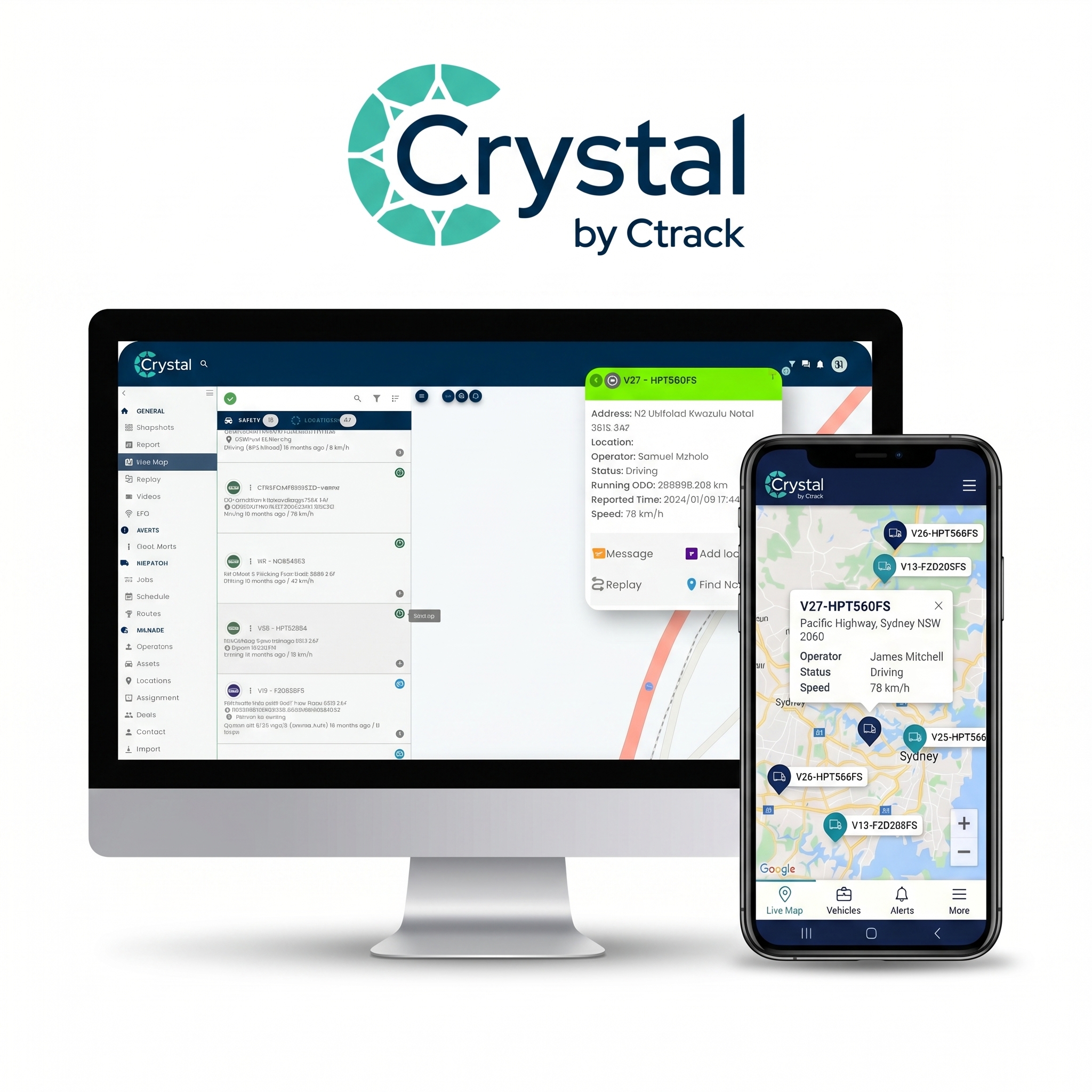
You configure zones on a map interface. Common locations include depots, customer sites, restricted areas, and job sites. Each zone can carry different rules, different notification recipients, and different triggers based on entry, exit, or time spent within the zone. Alerts arrive by SMS, email, or in-platform notification.
- Circular zonesA radius around a central point. Suits depot yards, delivery points, and service areas around Auckland, Wellington, or Christchurch.
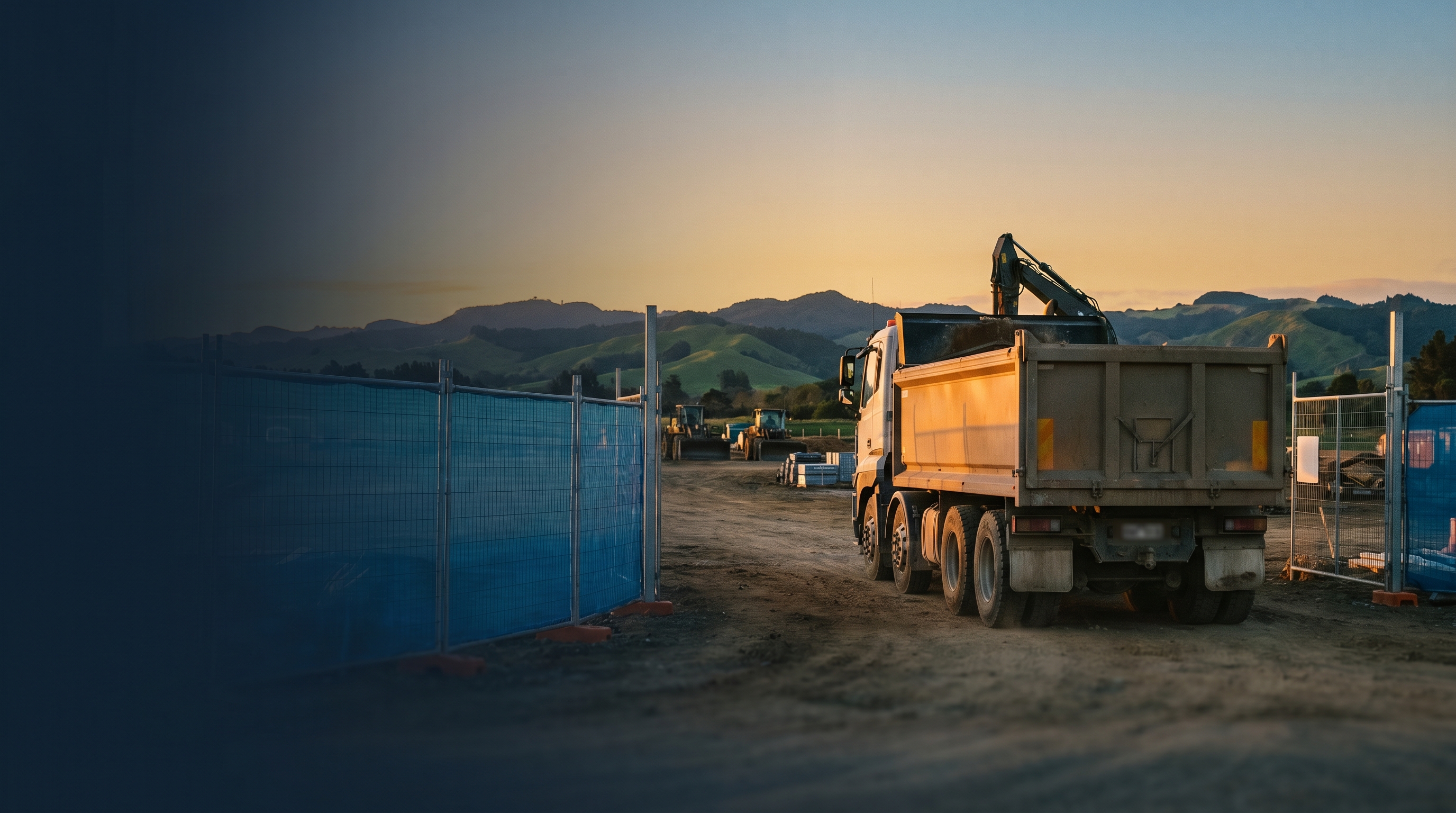
- Polygon zonesTrace any irregular shape on the map. Works well for construction site boundaries, port access zones, and uneven land parcels.
- Corridor zonesDefine an approved route rather than a static location. Any vehicle deviation outside the permitted corridor triggers a geofence alert.
Key distinction
Geofencing vs GPS Tracking
GPS tracking tells you where a vehicle is. Geofencing tells you whether that position is where it should be, then acts when it is not. The two technologies work together. GPS tracking supplies the location data. Geofencing applies the rules and fires the notification. Without geofencing, GPS tracking requires constant manual observation to spot a vehicle in the wrong place. Research from Frost and Sullivan shows fleet tracking technology delivers an average 300% return on investment. Geofencing is one of the primary mechanisms driving that outcome.
Common applications
What Is Geofencing Used For?
Geofencing is one of the most adaptable tools in fleet operations. New Zealand fleet managers apply it across operations, safety, and compliance. Zone-based monitoring reduces personal use of company vehicles by 20-25%, and route-aware geofencing reduces wasted mileage by 15-30%. Automated geofence records satisfy HSWA documentation requirements and support Transport Service Licence audits in New Zealand.
- Depot arrival and departureKnow exactly when drivers leave and return without phone calls or manual sign-out sheets. Entry and exit timestamps are recorded automatically.
- Delivery and site confirmationVerify arrival at customer locations and record time-at-site automatically. Useful for distribution runs, field service teams, and cold-chain deliveries.
- Unauthorised use preventionReceive a geofence alert if a vehicle leaves a depot outside approved hours or enters a restricted zone.
- Automated timekeepingGeofence records replace manual job sheets. Time-on-site data flows into reports automatically, removing a common source of inaccurate billing records.
Frequently Asked Questions
Geofencing software
See Fleet Geofencing in Action
Ctrack's Crystal platform includes geofencing as part of a complete fleet management solution. Create zones, set alerts, and monitor your fleet across New Zealand.